HomeProductsGround station equipment
Ground station equipment
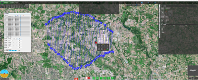
The OBS - GCS ground station software features telemetry, flight instrumentation, status alarms, system configuration, parameter configuration, logging, data recording/playback, electronic map, route planning, elevation check, load control, etc. It supports customised page display layout, software start screen, parameter list, curve/chart display, 3D route display, pod video display, etc.
地面站软件地面站软件
Product features

Support for pre-flight checklist display

Support for status monitoring and alarms

Support for pod video display

Support various 2D/3D online map data (BingMap, GoogleMap, etc.)

Support local loading, route editing, flexible editing of each point data, support point jumping function. Up to 10 routes can be saved at the same time

Support route elevation check to prevent mountain collisions

Support automatic generation of polygon route, can set visible light aerial survey parameters, Lidar aerial survey parameters

Multiple landing options (return to take-off point, fly to specific point, etc.)

Support for various safety protection settings (low voltage alarm, link loss protection, automatic return settings, etc.)

Support for customized 3D aircraft model display

Support for customised shortcut display of common status

Support quick parameter command buttons for flexible configuration

Support flight data digital/curve display in real time, convenient for users to observe and analyse flight data
Innovation Creation Specialities Focus
Demand driven UAV navigation guidance and control system servicer
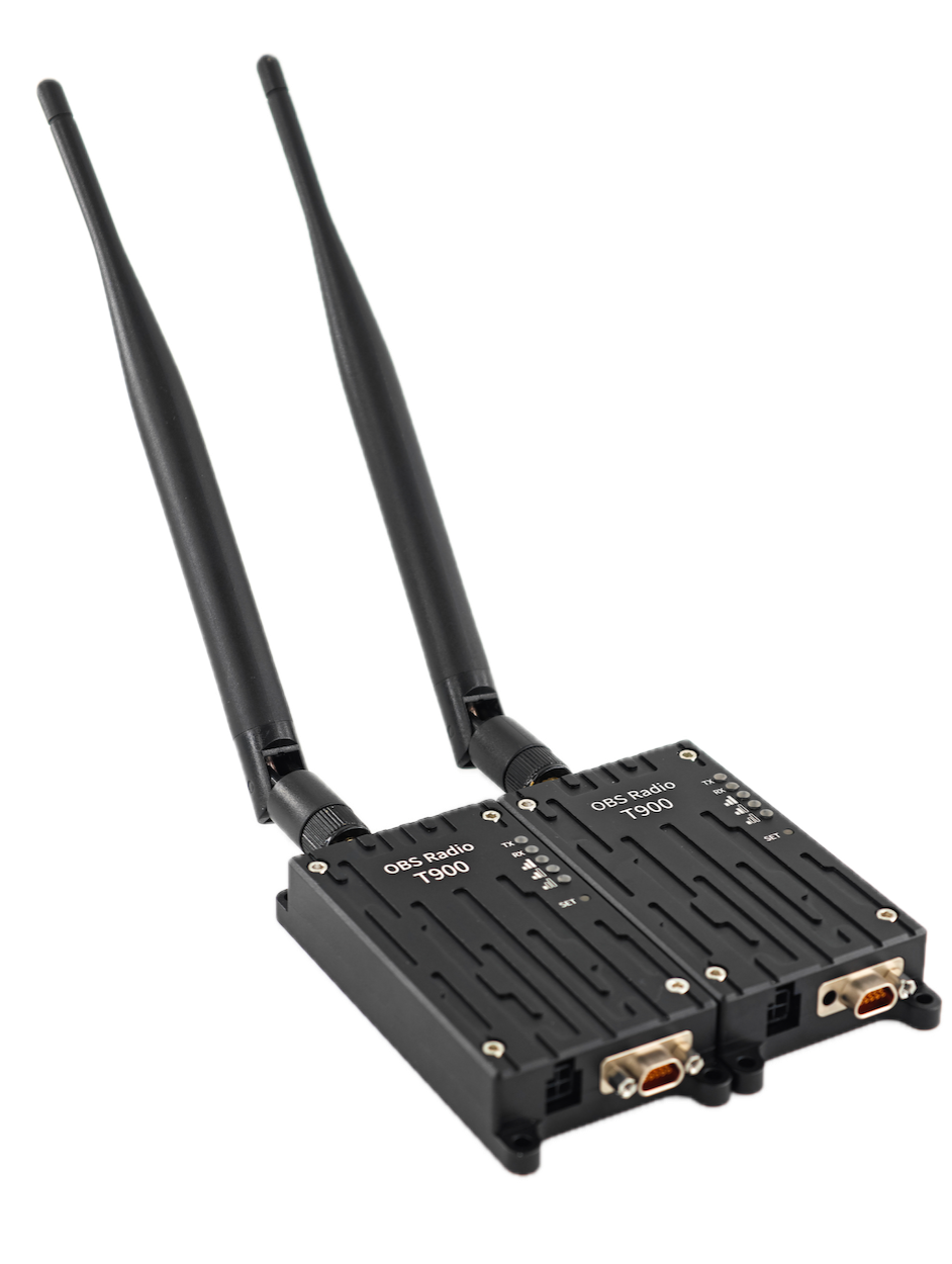
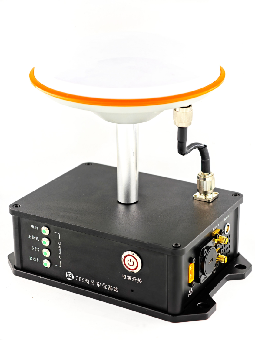
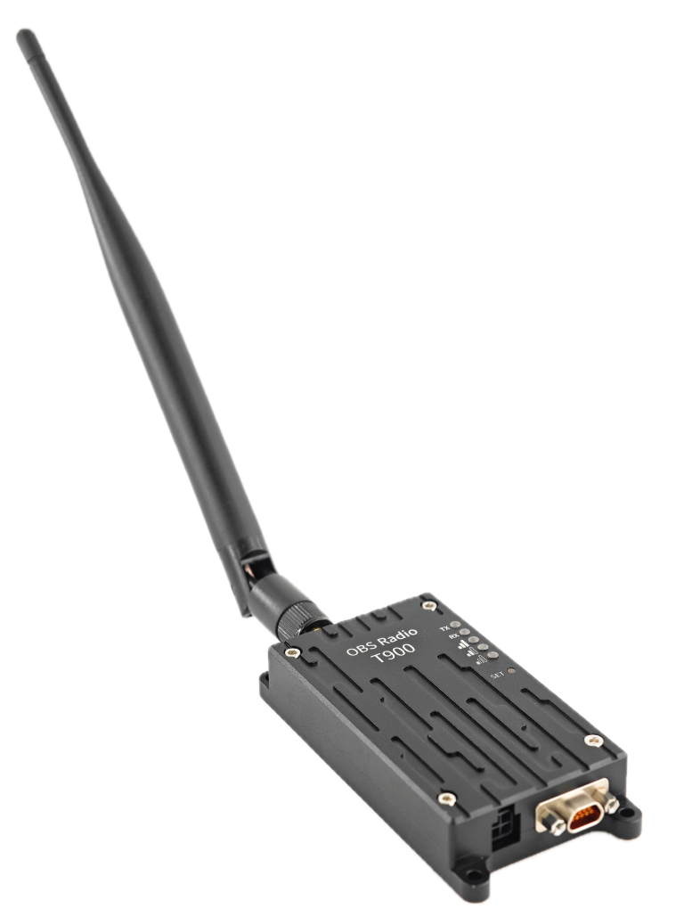
The integration of the ground differential station and digital radio function, the flight control and navigation computer and ground station software communication remote control telemetry information and ground differential station information packet transmission, reduce the ground station system cable connection and layout complexity, reduce the complexity of the equipment connection on board, and at the same time can be developed according to user needs to lead the differential data out, external independent differential data chain.